Stockholm Walks
Black line = walk, click the line to see photos. Also see the photomap
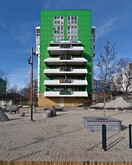
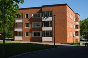
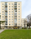
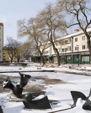
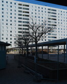
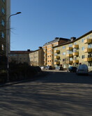
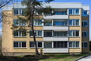
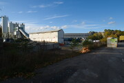
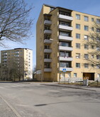
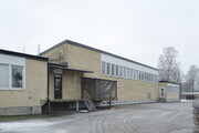
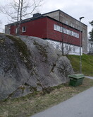
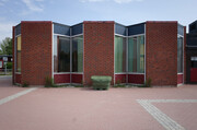
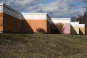
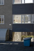
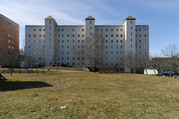
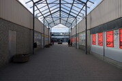
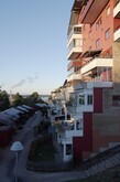
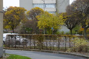
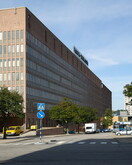
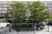
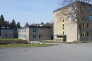
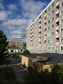
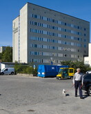
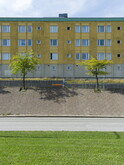
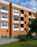
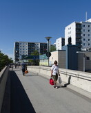
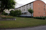
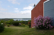
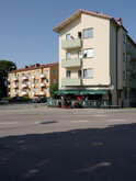
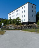
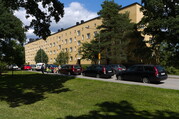
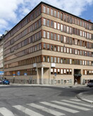
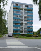
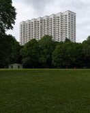
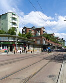
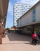
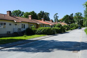
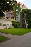
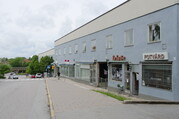
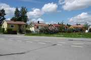
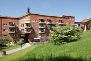
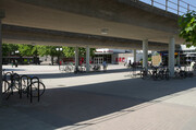
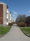
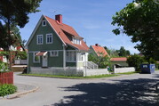
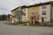
The photographs above were taken during walks I started doing in 2013. A large majority of the population of Stockholm, including myself, live outside the traditional city center. My photographs show some of the spaces and buildings of this city outside the city. In addition to the image album below you can also browse a ( currently small) collection of tags and a couple of drawings. Also see more architecture photographs and my main site.
This project is a work in progress and my intention is to add plan drawings and other information about the places and buildings as I find time. For those interested you can read more about the walks or how the site is created. Only reduced size images are available from this website to limit the bandwith used for such a large number of images.
List of walks
- Dalen - Bagarmossen
- Bagarmossen
- Enskededalen - Gamla Enskede
- Bagarmossen - Kärrtorp
- Skarpnäck
- Tallkrogen - Hökarängen
- Bagarmossen - Hammarby Sjöstad
- Bagarmossen
- Bagarmossen - Pungpinan
- Svedmyra - Högdalen
- Gröndal - Nybohov
- Hornstull - Marieberg
- Vasastan - Lilla Essingen
- Kristineberg - Sundbyberg
- Östberga - Årsta
- Hjorthagen - Gärdet
- Söder - Hammarbyhöjden
- Vårby - Bredäng
- Hässelby Strand - Vällingby
- Kista - Tensta
- Vällingby - Södra Ängby
- Hjulsta - Hallonbergen
- Fruängen - Vinterviken
- Danviksklippan - Henriksdalsberget
- Bergshamra
- Hökarängen-Rågsved
- Fisksätra
- Farsta Strand - Sköndal
- Valla - Kärrtorp
- Masmo
- Jordbro
- Brandbergen
- Hässelby, Kristineberg, Fredhäll
- Älta
- Krusboda - Tyresö C
- Orminge
- Västerhaninge
- Västertorp - Skogskyrkogården
- Sköndal - Trångsund
- Brandbergen - Skogås
- Alphyddan - Kvarnholmen
- Hallonbergen - Västra skogen
- Årsta - Aspudden
- Farsta - Farsta Strand
- Östberga - Ekensberg
- Huddinge - Fittja
- Alvik - Nockeby
- Drawings
- notes
- sitemap
- tag

